Download Our Mobile App And Take WKTN With You . > > > > > > > > > > IT'S FREE!!
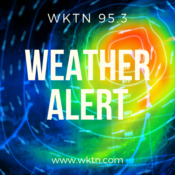
Severe Thunderstorm Warning for Hardin and Logan Counties

The National Weather Service in Wilmington has issued a Severe Thunderstorm Warning for…
Northeastern Logan County in west central Ohio…
Southeastern Hardin County in west central Ohio…
- Until 415 PM EDT.
- At 334 PM EDT, a severe thunderstorm was located near Kenton, moving east at 50 mph. HAZARD…60 mph wind gusts and quarter size hail. SOURCE…Radar indicated. IMPACT…Minor hail damage to vehicles is possible. Expect wind
damage to trees and power lines. - Locations impacted include…
Kenton, Mount Victory, Ridgeway, Hepburn, Grant, Silver Creek,
Mentzer, Big Springs, and Pfeiffer.
PRECAUTIONARY/PREPAREDNESS ACTIONS…
For your protection move to an interior room on the lowest floor of a building.
To report severe weather, go to our website at weather.gov/iln and submit your report via social media, when you can do so safely.
A Tornado Watch remains in effect until 700 PM EDT for central and west central Ohio.