
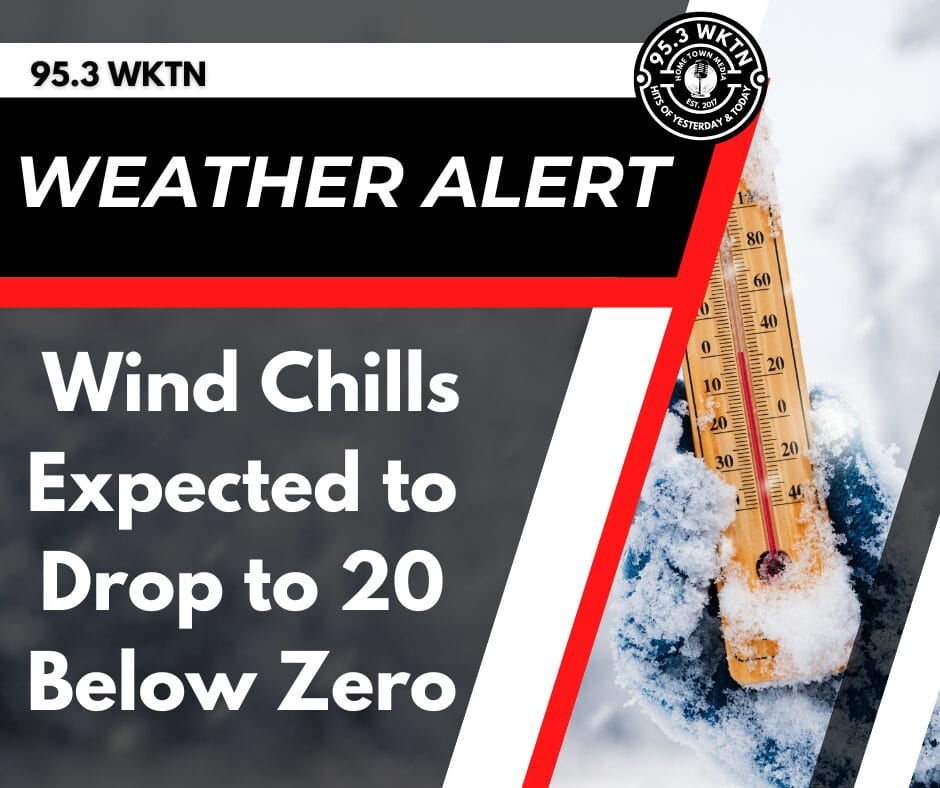
Wind Chills Could Plummet to 20 to 30 Below Zero as Dangerous Cold Hits Early Next Week
A quick burst of light snow is likely this morning into the early afternoon.
Accumulations of up to 1 inch is possible in some areas.
Cold temperatures and gusty winds could cause reduced visibility and slick spots on roads.
The National Weather Service also said that dangerously cold temperatures are in the forecast for early next week.
The actual low will drop to below zero staring Sunday night, and that will continue into Tuesday morning.
The high on Monday and Tuesday will be in low single digits.
Wind chill reading during that time could reach as low as 20 to 30 below zero.
Now is the time to get prepared for the dangerous cold.
The National Weather Service recommends minimizing travel.
It is important to stay indoors during the worst part of the extreme cold.
You should also keep a winter survival kit in your vehicle if you must travel.
Commuters should also check tire pressure, antifreeze levels, and their heater/defroster for their automobiles.
It is also important that you learn how to shut off water valves for potential pipe bursts.
Check on the elderly and your neighbors.
You should also bring pets inside.
Stay tuned to WKTN for the latest weather updates.