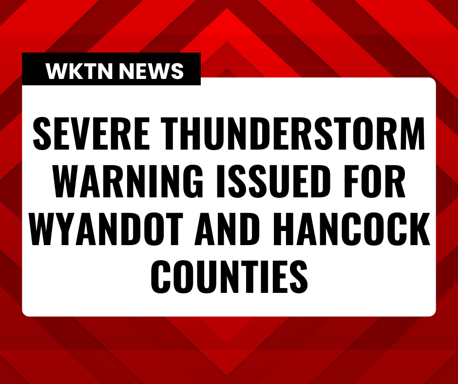
The National Weather Service in Cleveland has issued a Severe Thunderstorm Warning for today, 3/26/2026 for:

-Seneca County in northwestern Ohio...
-Northwestern Wyandot County in northwestern Ohio...
-Southwestern Sandusky County in northwestern Ohio...
-Wood County in northwestern Ohio...
-Hancock County in northwestern Ohio...
-Southwestern Lucas County in northwestern Ohio...

* Until 815 PM EDT.

* At 726 PM EDT, severe thunderstorms were located along a line
  extending from Delta to Mcclure to near Continental, moving east at
  70 mph.

  HAZARD...Ping pong ball size hail and 60 mph wind gusts.

  SOURCE...Radar indicated.

  IMPACT...People and animals outdoors will be injured. Expect hail
           damage to roofs, siding, windows, and vehicles. Expect
           damage to trees and power lines.

* Locations impacted include...
  Findlay, Bowling Green, Tiffin, Fremont, Fostoria, Bluffton, Clyde,
  Waterville, Whitehouse, North Baltimore, Gibsonburg, McComb,
  Weston, Forest, Arlington, Green Springs, Arcadia, Rawson, Vanlue,
  and Van Buren.

PRECAUTIONARY/PREPAREDNESS ACTIONS...

For your protection move to an interior room on the lowest floor of a
building.

Torrential rainfall is occurring with these storms, and may lead to
flash flooding. Do not drive your vehicle through flooded roadways.

A Tornado Watch remains in effect until 1100 PM EDT for northwestern
Ohio.